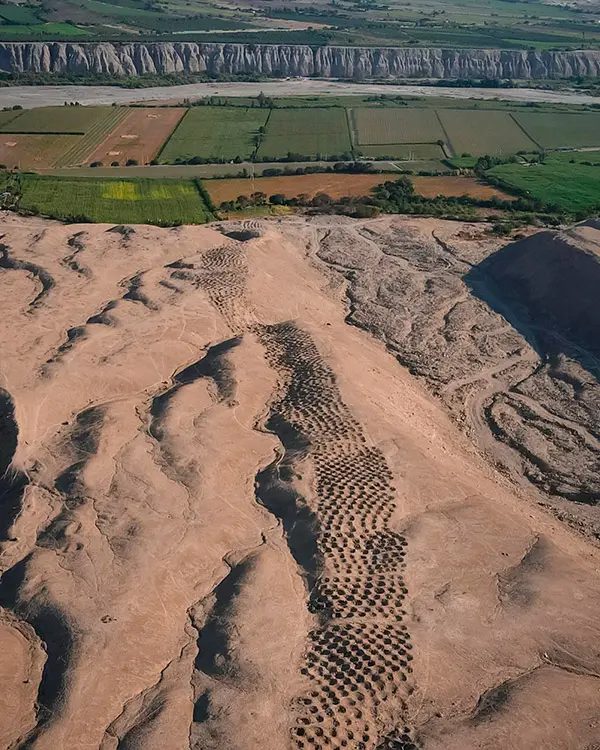
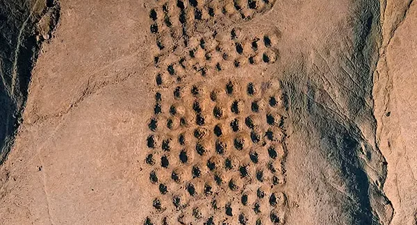
Monte Sierpe
Mount Sierpe is located 7 km from Tambo Colorado, an ancient Inca administrative center that controlled the coast up to Lunahuaná and Chincha. The geoglyph of Mount Sierpe was discovered by photographer Robert Shippee on May 19, 1944, during an aerial survey of the Chillón Valley. Upon seeing the figure, which resembled a “runway,” he was amazed by its shape.